Acreage & boundary mapping
Sub-centimeter orthomosaics and elevation data — perfect for fence planning, easements, water flow, and grant paperwork.
The same drone and imaging technology we use on historic landmarks works just as hard on a ranch. Map your acreage, monitor crops and pasture, document fence lines, and prepare for our upcoming thermal imaging service — built to help find lost cattle and locate underground water leaks.
What we can do today
Sub-centimeter orthomosaics and elevation data — perfect for fence planning, easements, water flow, and grant paperwork.
Repeatable aerial passes to track growth, drainage issues, weed pressure, and overgrazing across the season.
Barns, silos, irrigation pivots, corrals, and outbuildings captured for insurance, planning, and repair reference.
In the field · Utah
Real captures from working Utah farms — aerial surveys for acreage, crop health, infrastructure, and seasonal documentation.
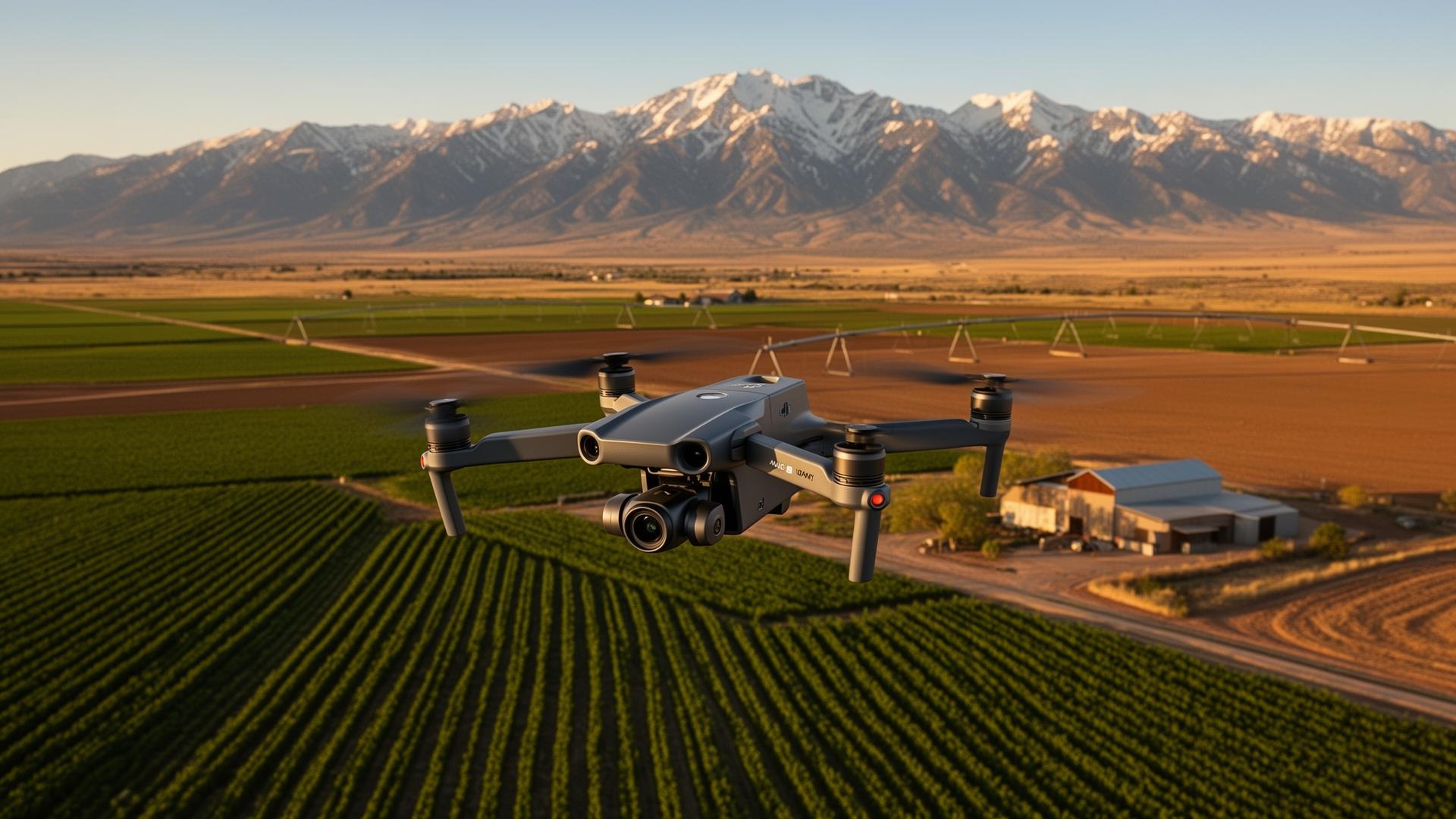
Aerial survey
Full-acreage mapping pass
Drone in flight capturing field boundaries, irrigation pivots, and outbuildings in a single survey.
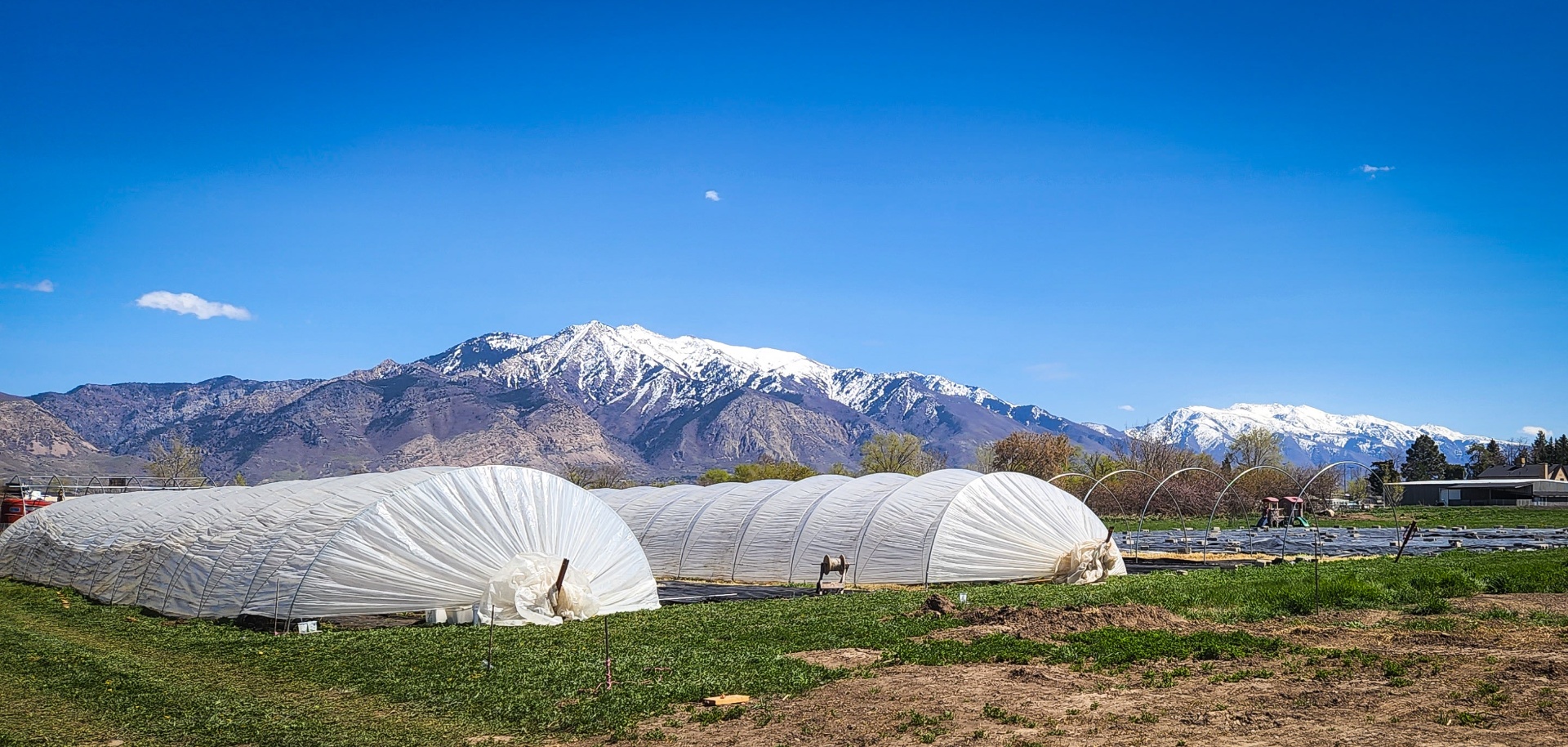
Infrastructure
Greenhouse & structure capture
High-resolution aerial documentation of hoop houses, sheds, and irrigation for planning and insurance.
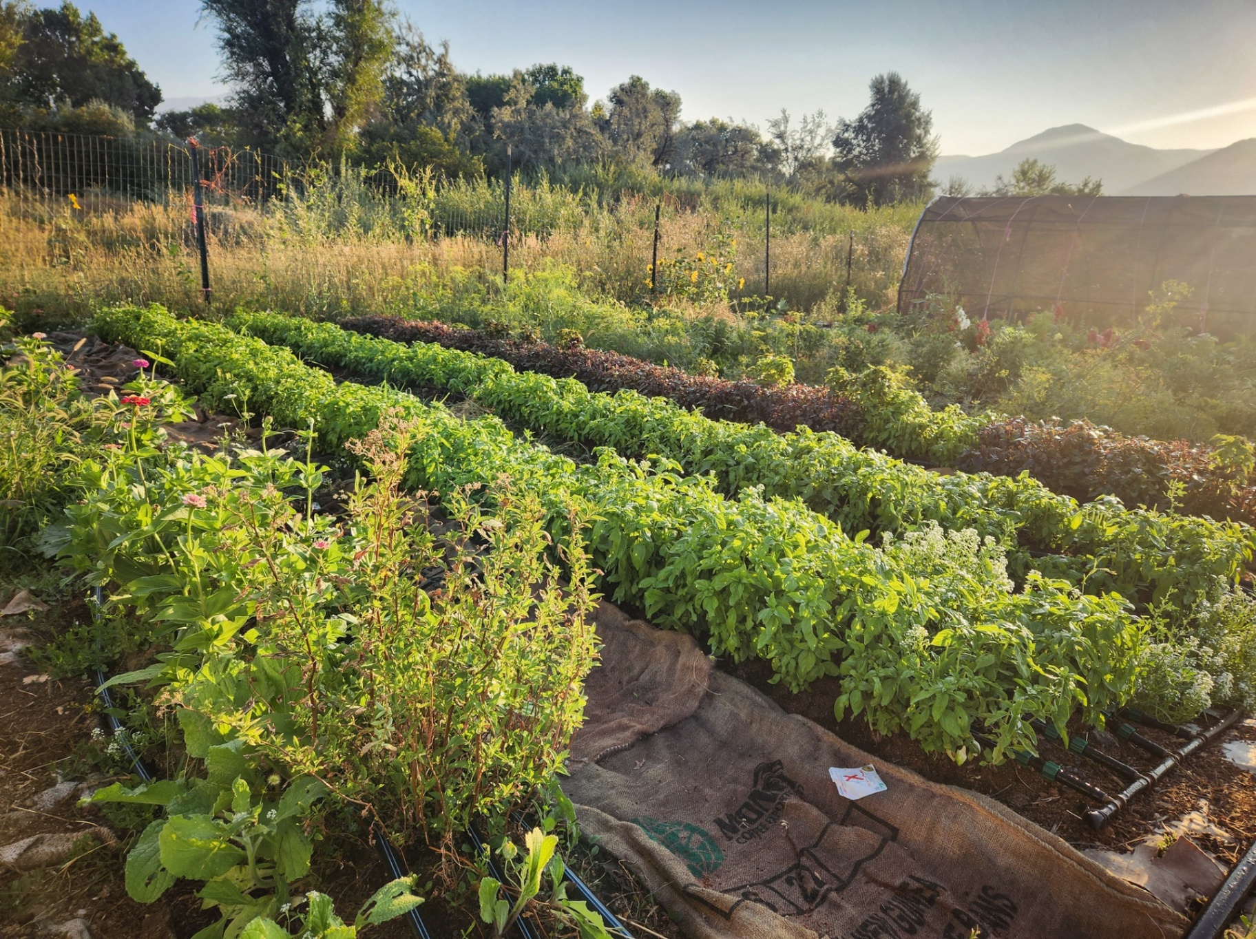
Crop monitoring
Row-level growth tracking
Repeatable passes that track crop vigor, drainage, and weed pressure through the season.
An upcoming add-on built specifically for ranchers, farmers, and land managers. Thermal sensors mounted to our drones reveal heat signatures invisible to the naked eye — opening up a new layer of awareness across your operation.
Find lost cattle & livestock
Locate animals at night, in dense brush, or across rough terrain by their heat signature.
Detect underground water leaks
Pinpoint irrigation breaks, buried line leaks, and subsurface moisture before they wash out a field.
Spot hot spots & hidden issues
Identify equipment overheating, electrical faults, wildlife, or even early signs of structure fires.
Built for the realities of working land
A missing cow, a hidden leak, or an unmapped pasture can each cost more than a full survey. Our goal with thermal imaging is simple: get answers in hours, not days — and never set foot in dangerous terrain to do it.
Tell us about your acreage and what you're trying to solve. We'll scope a flight, share sample deliverables, and let you know when thermal imaging becomes available in your area.
Request a quote